root@sleepynerdlive.com
:
~
$
cat $HOME/public_html/posts/storm-prediction-center-mesoscale-discussion-2224.txt >> story.html | parse_story story.html; rm -f storm-prediction-center-mesoscale-discussion-2224.txt story.html
|
|
| Mesoscale Discussion 2224 | |
|
|
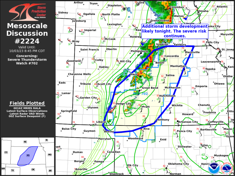
Mesoscale Discussion 2224 NWS Storm Prediction Center Norman OK 0719 PM CDT Thu Sep 03 2026 Areas affected...portions of southern Pennsylvania into western Maryland and the far eastern West Virginia Panhandle Concerning...Severe Thunderstorm Watch 650... Valid 040019Z - 040115Z The severe weather threat for Severe Thunderstorm Watch 650 continues. SUMMARY...A small bowing cluster continues to bring a risk for primarily damaging/severe wind gusts. DISCUSSION...A persistent bowing cluster remains ongoing across south-central Pennsylvania having produced a swath of wind damage reports across portions of western/southwestern PA over the past several hours. While latest objective analysis suggests that the low-levels are beginning to stabilize owing to the onset of nocturnal cooling, moderate to strong instability (2500-3000+ J/kg MLCAPE) and effective shear upwards of 30-35 kts sampled by the downstream 00z IAD observed sounding should continue to promote organized, robust updrafts and the potential for damaging/severe wind gusts for at least another 1-2 hours (as supported by a recent 59 mph measured wind gust at the KJST ASOS site in southern PA). ..Chalmers.. 09/04/2026 ...Please see www.spc.noaa.gov for graphic product... ATTN...WFO...CTP...LWX... LAT...LON 39627861 39787882 39887884 40017878 40247859 40307844 40297828 40177795 39927739 39767720 39537717 39337744 39387790 39627861 MOST PROBABLE PEAK WIND GUST...55-70 MPH MOST PROBABLE PEAK HAIL SIZE...UP TO 1.25 IN |
|
|
Top/All Mesoscale Discussions/Forecast Products/Home |
|